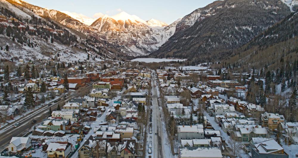
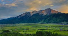
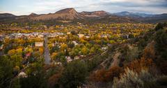
The county seat of San Miguel County, Telluride is a little town located in the southwestern section of the state of Colorado. An old mining town many years ago, Telluride is best known nowadays as a resort location, right next door to the highly popular Telluride Ski Resort. Stretching out over 2.18 square miles in total, Telluride has an estimated population of around 2,400 people but attracts many more for recreational activities.
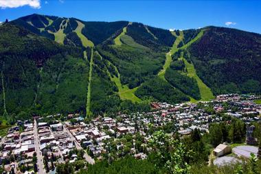
The town of Telluride has an elevation of 8,750 feet
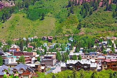
© avmedved/stock.adobe.com
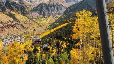
The elevation of a location tells us how high it is in relation to sea level. In the case of Telluride, there are several key locations to consider. The town of Telluride has an elevation of 8,750 feet (2,667 m), but it's also worth looking at the elevation in Telluride's neighboring areas. Telluride is connected by gondola to nearby Mountain Village, which has an elevation of 9,545 feet (2,910 m). The Telluride Ski Resort, the most popular tourist spot in the area, has a base elevation of 8,725 feet (2,659 m) and a top elevation of 13,150 feet (4,010 m).
Elevation of Telluride compared to other areas
© Knight/stock.adobe.com
Colorado is well-known for its ski resorts and Telluride is just one of many. Other popular ski resorts like Aspen and Vail also have very high elevations. The town of Vail has an elevation of 8,022 feet (2,445 m), while Aspen stands at an elevation of around 8,000 feet (2,438 m). So, when compared against these locations, Telluride is clearly higher up and has one of the highest elevations of any ski resort town in Colorado. It’s not the highest town in the state, however, as that honor belongs to Leadville, which has an elevation of 10,152 feet (3,094 m).
Colorado is actually the highest in the entire United States
© Craig Zerbe/stock.adobe.com
Colorado is actually the highest in the entire United States, with a mean elevation of 6,800 feet (2,070 m), but the elevation of Telluride is still much higher than this reading and higher than many of the major cities around the state like Denver, which has an elevation of 5,280 feet (1,609.344 m) and Colorado Springs, which has an elevation of 6,033 feet (1,839 m). The highest point in the whole state is Mount Elbert, which stands at 14,400 feet (4,401 m) tall, while the lowest point in Colorado is part of the Arikaree River, which has an elevation of 3,317 feet (1,011 m).


